
Clark County Neighbors by Block
Public records around a Clark County address describe different layers of a block. Start with the parcel layer to see adjoining lots and their map relationship. Then use the assessor record for owner, vesting, situs, and mailing fields. A voter record is an election-registration record at a file date, while an association or community source may point to a public contact route. None of those sources alone identifies every person who may be near an address. The record's label matters as much as the name it contains.
| Source | What It Shows About a Block | Access |
|---|---|---|
| GISMO AssessorMap | Lotlines, parcels, easements, and adjacent parcel relationships | Public map service with query and identify functions |
| Assessor records | APN, owner or vesting, situs, mailing field, subdivision, and map links | Public search route |
| Voter-list files | Listed registration fields, precincts, districts, and status at a file date | Official downloads; confidential fields omitted |
| Neighborhood association resources | Association contact or geographic lead where the responsible local government provides one | City or association route, not a countywide member list |
| TAB/CAC information | Community advisory geography, meetings, and official participants | County public information, not private membership data |
Assessor owner and mailing fields are property and tax fields. They do not prove present occupancy. The Clark County map is not a boundary survey, and a voter file does not equal a census. Treat each result as a dated observation from its source. That practice avoids converting an address map into an unsupported claim about Clark County neighbors.
Clark County Neighbor Layers
The word neighbor has several practical meanings in Clark County. An adjacent assessor parcel is the closest land-record layer. A recorded subdivision, HOA area, ZIP, city ward, school area, precinct, TAB, or CAC is a wider civic or geographic layer. Choose one before searching. In Clark County, a postal city can differ from an assessor situs, municipal boundary, county planning area, and ZIP polygon, so the address and parcel should guide the jurisdiction check.
Clark County's GIS materials distinguish parcel mapping from legal boundary work. The AssessorMap service has Lotlines, Parcels, and Easements layers and supports query, identify, find, and export operations. A recorded subdivision or parcel map supplies the legal lot relationship when that detail matters. The Composite ZIP GeocodeServer can check an address candidate with Street and ZIP fields or one line, but a candidate match does not establish a person at that address.
- APN
- An assessor parcel number, the identifier used to connect a location with a parcel record.
- Situs address
- The property location shown on an assessor record. It can differ from the mailing field.
- Adjacent parcel
- A lot touching or immediately surrounding the selected parcel on the map layer. It is a map relationship, not a claim about a household.
Map Clark County Neighbor Parcels
Use a short, address-to-parcel sequence for Clark County neighbors. It keeps the initial address, map relationship, and record role distinct. The aim is to identify surrounding parcels and the source date, not to guess who is present at a home. If a Clark County result has no APN, confirm the map selection before moving to the assessor or Recorder.
- Enter the address in the county geocoder or Assessor record route and confirm the returned situs and parcel identifier.
- Open AssessorMap, identify the selected parcel, and inspect the nearby Lotlines and Parcels layer features.
- Record each surrounding APN and review its assessor owner or vesting and mailing fields with the date accessed.
- When a legal lot, subdivision, or prior instrument matters, use the Recorder index and recorded map rather than relying on the generalized GIS display.
The City of Las Vegas parcel and neighborhood-association GIS layer is another example of a local geographic layer. Its metadata confirms that the layer exists, but field definitions and currentness should be preserved before using a returned value.
The parcel view is strongest for the immediate block. For a full named-street record chain, the Clark County street directory follows the address angle rather than the block-radius angle.
Clark County Neighborhood Association Routes
There is no complete public Clark County HOA member roster in the sources inspected. The county HOA registration form is for receiving land-use application notices within the applicable radius, not a public person directory. When a block question concerns an association, use a real contact or boundary route: the responsible city's association resource, the city GIS association layer, a recorded declaration or CC&R, or a county land-use notice record. Do not infer private membership from an HOA form or a map layer.
| Community Route | What It Can Identify | Access Limit |
|---|---|---|
| City of Las Vegas association resource | A local route for finding the appropriate neighborhood association | Use only when the address is in the City of Las Vegas |
| City GIS association layer | Evidence of an association-related geographic layer | Check layer date and field definition before relying on it |
| Clark County Town Liaison | The county contact route for TAB/CAC questions | Community advisory contact is not an association roster |
The City of Las Vegas Find Your Neighborhood Association resource is the correct first stop for an address within that city. Henderson, North Las Vegas, Boulder City, Mesquite, and unincorporated communities have separate jurisdictions. Verify the address jurisdiction before choosing a city contact.
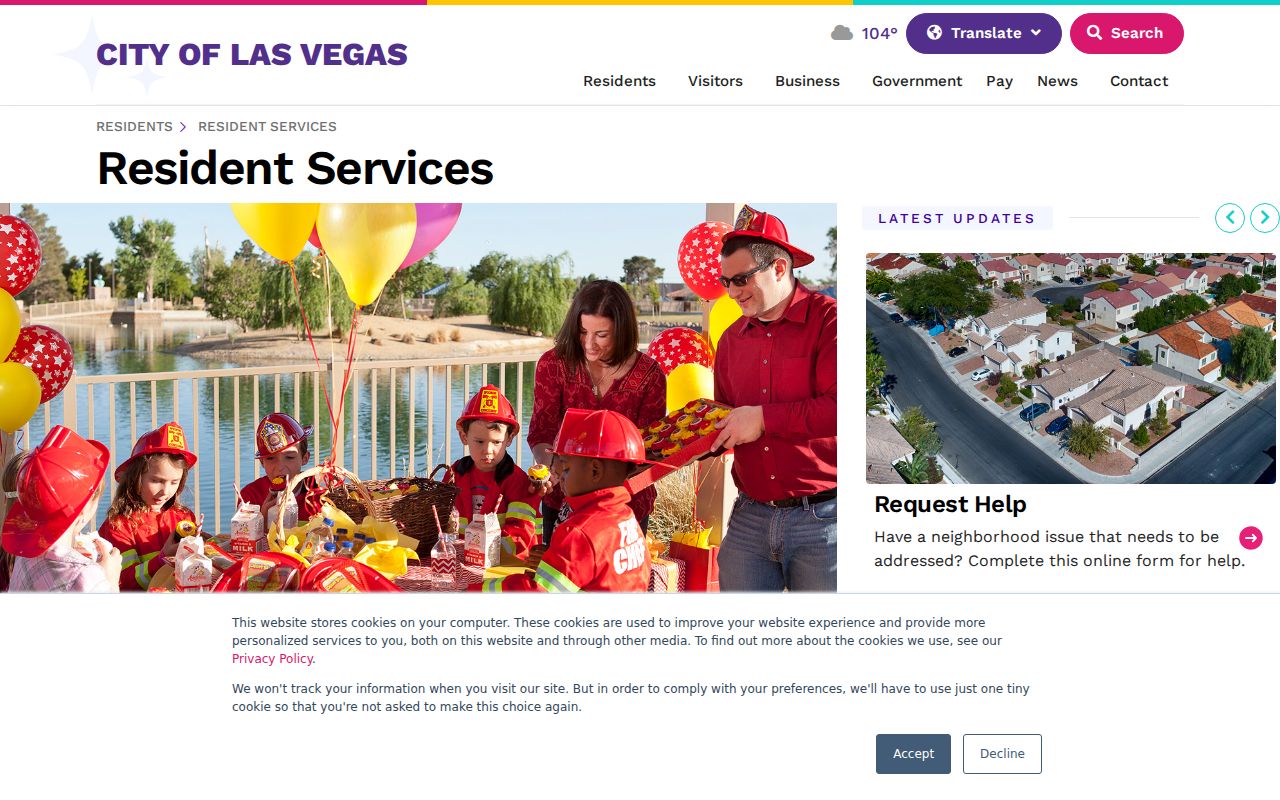
The association resource adds a community-contact layer after the parcel relationship is known. It does not turn an association boundary into a list of every nearby household.
Clark County Neighbor Community Boundaries
TABs and CACs are county community advisory structures, not private neighborhood rosters. The county lists urban TABs or CACs for Enterprise, Lone Mountain, Lower Kyle Canyon, Paradise, Spring Valley, Sunrise Manor, Whitney, and Winchester. Rural areas include Bunkerville, Goodsprings, Indian Springs, Laughlin, Moapa, Moapa Valley, Mountain Springs, Mt. Charleston, Red Rock, Sandy Valley, and Searchlight. This geography can explain which public meeting context belongs with an unincorporated Clark County address.
Meeting agendas and minutes may identify land-use issues, road projects, community events, and people acting in official capacities. They should not be used to infer private association membership or a home address. Use the Clark County liaison contact route for the appropriate community question. For an incorporated-city record, verify that city's boundary and custodian first. A Las Vegas municipal source should not be treated as a countywide source.
Note: Record whether a result comes from a parcel, city, county, or advisory boundary because the labels can overlap without describing the same area.
Clark County Voter Files Near a Block
The official voter-list data files can be selected by county, congressional, state, commission, education, regent, school, city, and unincorporated district filters, as well as Active or Inactive status. They are generally updated each Monday. The county also provides a registered-voter walking-list route for address and precinct-oriented election research. Preserve the publication week and the official definition of each status.
Active means election mail has not been returned, not that a person regularly votes. Inactive and canceled records should not be read as proof of a move or death. Clark County voter records can withhold address, telephone, and other protected fields under NRS 293, and the file layout omits fields when the confidentiality flag requires it. The authenticated individual lookup requires identity information and is not a public name-only route.
Clark County Neighbors: Official Records Compared
A source category should tell a reader where a name or address relationship came from. Official Clark County records expose a defined field, date, access rule, and custodian. Commercial neighbor-lookup tools are a separate category that may combine records from different times and sources. A result from either category still needs source-date review and careful identity checks. Do not use an unverified compilation as a substitute for the official record it claims to summarize.
| Official Record Route | Commercial Neighbor-Lookup Category |
|---|---|
| Shows the source agency, record type, displayed role, and access limits. | May combine information from varied sources and dates, with unclear field origins. |
| Allows a request, correction, or copy inquiry through the responsible custodian. | Does not replace the custodian's record, correction route, or confidentiality rule. |
| Supports a precise label such as parcel owner, mailing contact, voter entry, or public meeting participant. | Should not be used to turn a name or address into a claim about an entire household. |
Official records are not complete either. Clark County GIS can be generalized or stale, recorder indexes can be shorthand, and voter records are not a population list. The useful comparison is not which source has more names. It is whether the source identifies what it actually records, on what date, and under what legal limit.
Clark County Neighbor Source Labels
Keep a small record trail for each Clark County neighbors search: the exact address entered, the normalized address returned, the APN, map layer, record role, source URL, record date, and access date. The assessor's mailing field can be a tax contact. The situs is the parcel location. A recorded name can be a grantor, grantee, trustee, beneficiary, lien claimant, or another principal party. Those labels prevent a reader from confusing a legal or administrative role with a claim of residence.
When Clark County sources conflict, preserve both entries with dates. An APN, instrument number, or official case or license identifier is stronger than a name alone. A single name-only hit is low confidence. Two official sources that match on name and date or address can be a medium lead, while an exact identifier with a matching authoritative result is stronger. Protected, redacted, or unavailable information remains unresolved rather than a gap to fill from speculation.
Note: A source date and role label are more useful than a broad claim about a person connected with a Clark County address.
Clark County Neighbor Lookup Limits
Nevada NRS 239.010 generally opens Clark County public records unless another law makes information confidential. Public access does not remove voter confidentiality, vital-record restrictions, sealed-court limits, protected Recorder information, or the rules around Nevada's Confidential Address Program. A CAP substitute address is not a person's actual location. Ask the record custodian about a correction or confidentiality process instead of republishing a disputed or protected field.
Use the immediate block only to the extent the official sources support it. An absent or blank record can mean a different jurisdiction, a protected field, delayed indexing, a changed address, or a source that never collected the information.